
“Roads... Where we’re going we don’t need roads”
Back to the Future 2
At least that’s what Siri
decided. I know I’ve voiced my
frustration with the Apple voice a few times during this blog and now that I’m
calmer writing, I realized its still a pretty miraculous thing that I can just
tell a 4x2 inch piece of metal and glass to take me to Rocky Mountain National
Park and it’ll do so. That’s how my day
started in Moab, a stop at the motels continental breakfast, a gas refill and
then getting my directions for the day.
The plan was to go North to I-70 and take that into Colorado. It was a sunny day in Moab
with endless possibilities of fun, but it was time to move on, the reality of
life is only a week away.
The drive into Colorado was
easily one of the most beautiful of the trip.
It had been a while since I had seen true east coast greens. The west is pretty, but lacks the mosaic of
greens that you see out in Pennsylvania.
The transition was neat because the mountains and canyons start off red
and pink and slowly get engulfed by plants.
It was the closest feeling to be being back home that I’ve had. Except, Colorado is like Pennsylvania on
steroids (not that states can take steroids, that’s only professional athletes). There are mountains everywhere and the
Colorado River seems to be omnipresent.
Route 70 travels along the base of these through mountain tunnels with
views of the Colorado’s rapids and the people rafting down it. Random side note here, Sisqo’s the Thong Song
was playing during one of these mountain tunnels, and while I lost XM reception
for about 1 minute going through them, I was able to continue the song and get
back into it with impeccable timing. Classic
song.
All was going well until Siri’s
voice interrupted my self ramblings and told me to exit and turn left onto
Trough Road. I always like to double-check
her, so I looked at the map overview and it appeared to be the only direct road
connecting to the highway to Rocky Mountain NP. Trough Road is a 25 mile death trap. It goes up and down the mountains along a
dirt road with turns around cliffs without any guardrails. There also happened to be a nice storm going
on throughout all this. There is no
reception in the area, so I could not even curse at Siri and hear her respond,
“there’s no need for profanity.” There
were other cars so I felt slightly better, one even waved at me. Then I passed by a sign that just said
“DANGER” and I began to wonder the friendly driver was warning me or saying
goodbye. I’m not sure what that sign was
specifically referring to but it may have been the steep decline with 180
degree turns, the potholes or my least favorite the fallen rocks the size of
soccer balls lying in the middle of the road.
I even saw one fall, which I’ve always thought those Falling Rock
warning signs were just a bluff.
 |
| Trough Road |
Obviously I survived, and
wouldn’t you know that the second I turned onto a real road, the storms stopped
and became just a nice gray overcast. I
continued along and eventually reached the park. I was feeling tired and it was gloomy out so
my plan for the day was to just enjoy the Trail Ridge Road drive. This is the highest major highway in North
America, reaching a peak height of 12,183 feet.
The terrain actually becomes Tundra, the light purple-colored areas on a
climate map (thank you elementary school) at these altitudes. The park has 72 peaks above 12,000 feet with
the highest being 14,259 feet. Too bad I
could not see any of them in the cold fog that had settled in the
mountains. I did not let this get me
down, satisfied with all I had seen in the past month. Plus when you are driving up to 12,000 feet
along a road that also does not have guardrails and you only want to look at
the road. All my acrophobia came back,
and both hands remained glued at the 2 and 11 oclock positions. A single sneeze, forcing my eyes closed,
could have led to my demise. The double
sneeze I happened to have around a bend was terrifying.
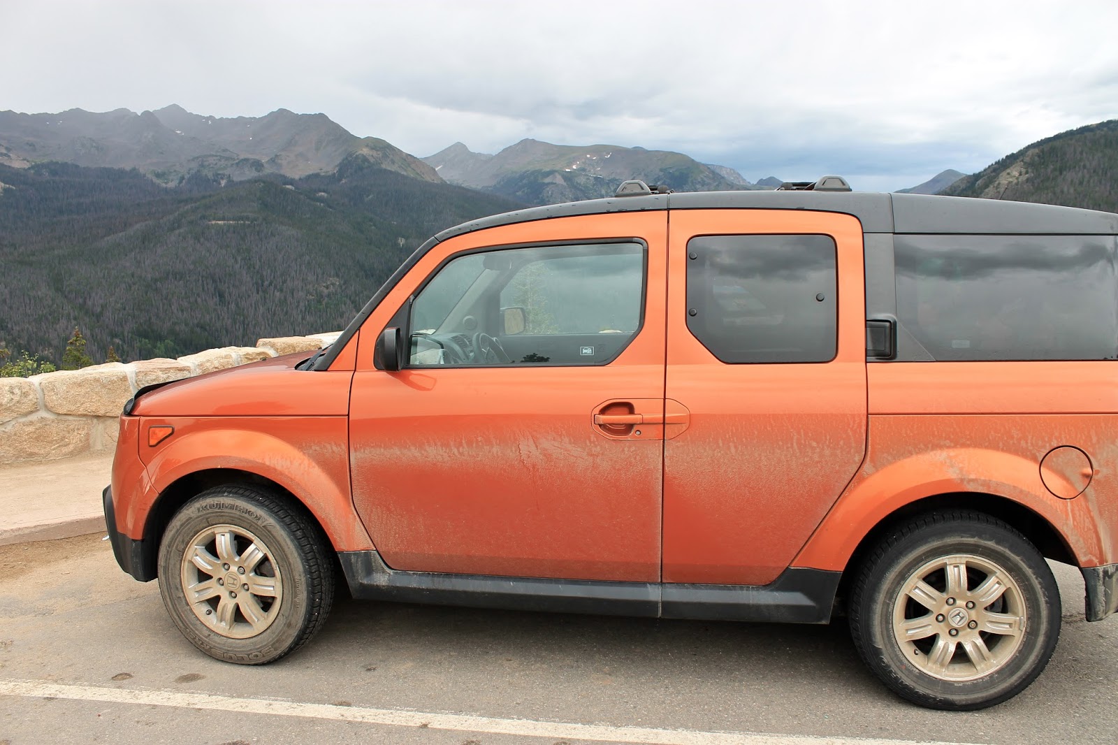 |
| The aftermath of Trough Road |
I arrived at camp, which was
full, but I had a reservation. The
majority of the camping I have done I booked campsites through Recreation.gov
and it has worked out amazing. Most were
booked in March. If you plan to go to
any parks, and you should, use this site.
I also recommend the Fodors National Parks of the West for great insight
into the best campgrounds. I set up camp,
made dinner, read and planned the next day.
The forecast for Wednesday was 70% chance of rain, but when morning came
the sun was shining. So I headed out for
a hike. The area is so popular for hikes
that they have parking lots just to get on shuttles to the trailheads. I decided to head to the Bear Lake area which
had a few trails to lakes and waterfalls.
The sun was no longer shining
by the time I hit the trail, so distant views of snowcapped mountains was not
in the cards. Instead I focused on the
smaller details of an alpine mountain trail.
Like the Sierras wildflowers were abundant in bright colors against the
dull gray backdrop. Though initially
gray the big boulders up close are covered in green, white, orange and black
lichen appearing as a natural graffiti.
Speaking of graffiti, the small aspen trees were covered in keloid-like
scars from years of people etching their names on them. Not to go all Fern Gully on you a, but this
defacement of trees is something that I do not understand. And not because the tree has feelings, just
because it looks ugly and what is so special about that moment you feel the
need to engrave your initials on a random tree.
Even my favorite tree (yes I have a favorite tree) that sits in my
parents yard has no carvings in it. The
hike was an easy 3.6 round trip to another Emerald Lake that sits at my highest
altitude hiked to at 10,080 feet. After
returning I picked up another 2 miles of hiking to a small waterfall. It was early afternoon at this point and I
had seen enough for the day so decided to make my way into civilization.

The next stop on the trip is
Denver, but my host would not be home until 9 PM, so I had some time to kill. I first stopped in the touristy town of Estes
Park, a town at the eastern edge of the park, similar to the other national
parks gateway towns. I had BBQ at Smokin
Daves BBQ and then made my way through the rain to Boulder. Boulder is a place where real world problems
do no exist. The sun was even shining
just over Boulder. I stopped in town,
paid a very reasonable price for parking, and got some coffee so that I could
use the WiFi to send off this blog. The
population looks more normal than I thought they would.
My mind predicted everyone would look like Courtney from Season 12 of
Survivor (google image her). Only about half
the people, men and women, look like her.
Despite the endless jokes I could make about this town, it is actually a very
beautiful town.
However, enough about cities,
today marked my last day in the National Parks.
No more days without showers, sleeping on the ground or removing everything
with a scent from my car. I’ll miss them
though. Life is simpler, once you get
away from the crowds up into the mountains or out into the desert. I’m not a fanatic, or someone who would chain
himself to a tree, but its nice to get away.
John Muir may have said it best when he said “Climb the mountains and
get their good tidings. Nature’s peace will flow into you as sunshine flows
into trees. The wind will blow their
freshness into you, and the storms their energy, while cares will drop away
from you like the leaves of Autumn.” He did leave out, but be careful because there are bees out there and they will sting you if you get too close to their wildflowers. I learned that the hard way today.

Stats:
Miles Driven: 8058
States: PA, MD, WV, VA, TN,
NC, AL, MS, LA, TX, NM, AZ, UT, NV, CA, OR, ID, MT, WY, CO
Blog Views: 3737
National Parks: 17
Miles Hiked: 95
Highest Altitude: 12,183
No comments:
Post a Comment